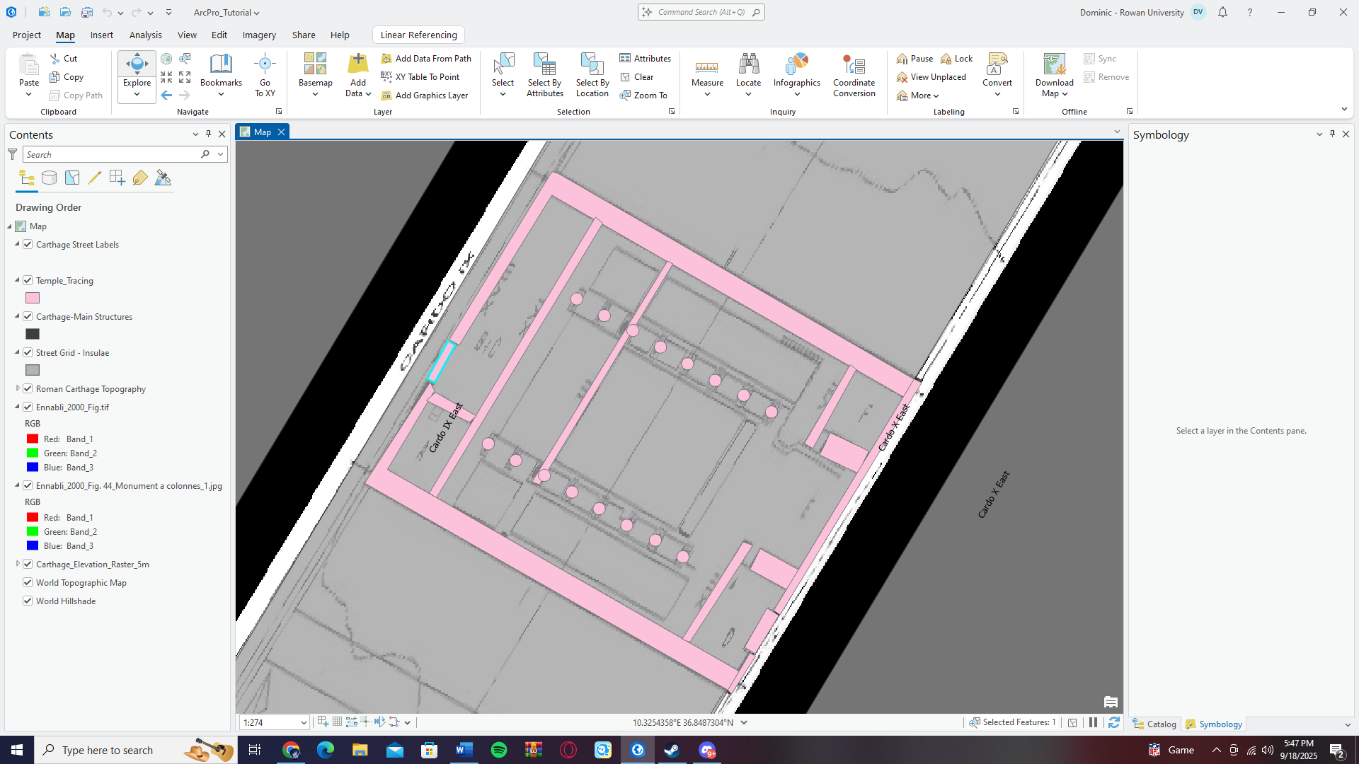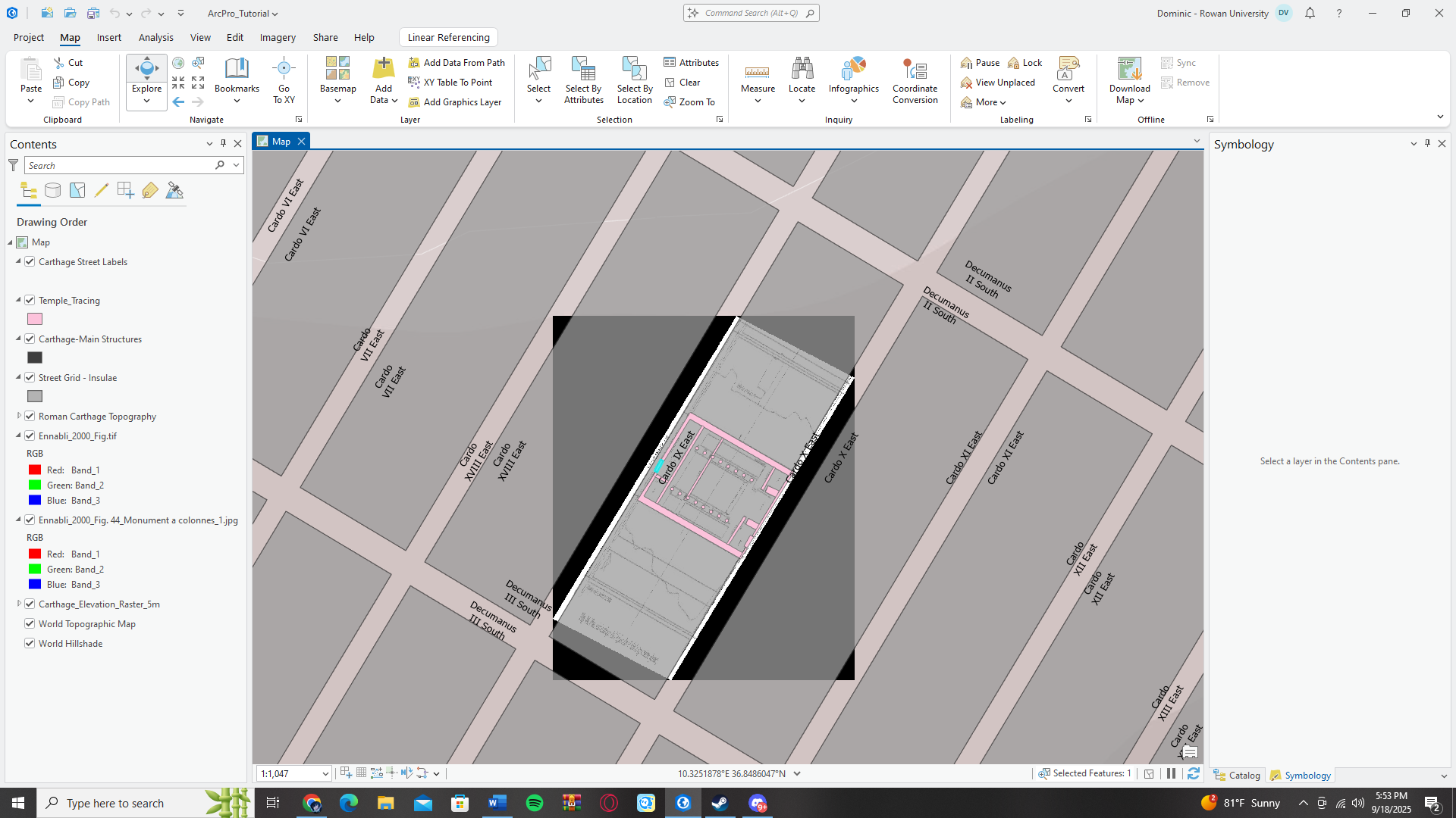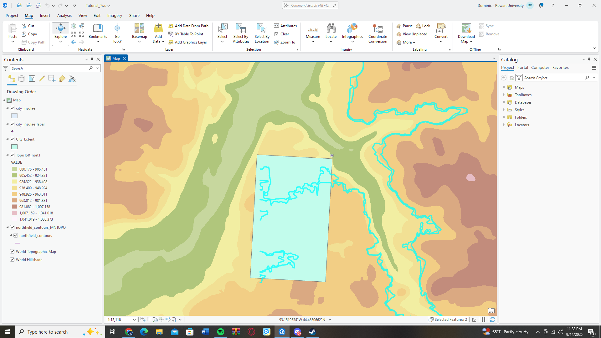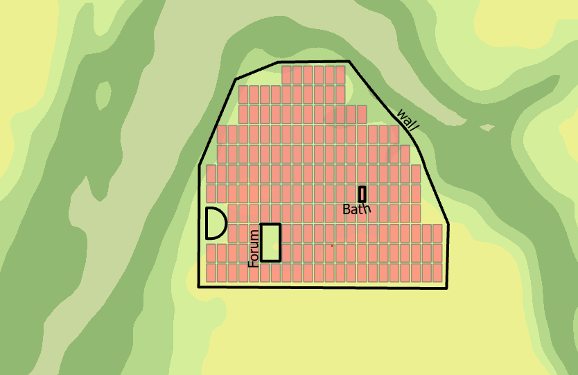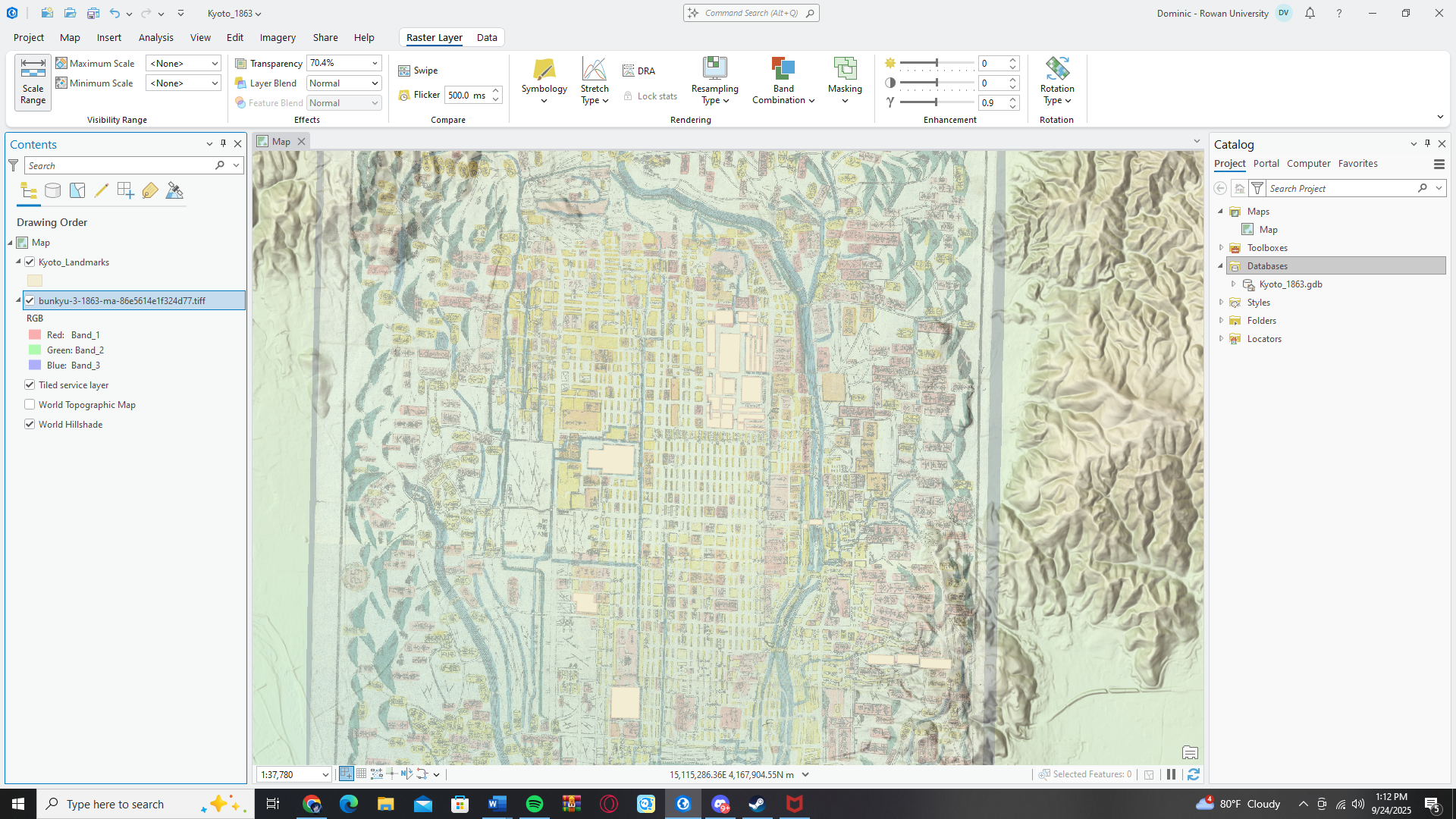
I have a recurring inside joke with my old roommate and friend group. A year or two ago, I came to trivia night and heard them having a mind-boggling conversation about vectors and vertices. Me being the funny person I am, made fun of them for talking about lines when they’re computer science majors. They responded appropriately, calling me a nerd, and insisting that one day even I’m going to be working with vectors even if I’m a history MA student. Every since whenever lines or vectors come up I get sufficiently teased, and now my worst nightmare has come true. All I’ve been doing is adjusting vector layers and vertices when tracing/drawing my map of Kyoto, I don’t expect the jokes to stop for some time, but I dug my own grave.
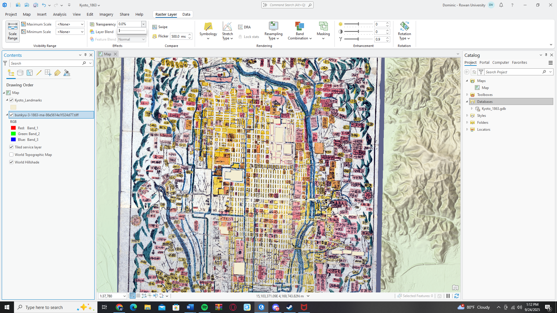
After struggling for a week, I am finally into the swing of things. All the tools are finally beginning to make sense, and most importantly I finally have a georeferenced map thanks to the ever reliable Dave Rumsey and his massive map collection. Essentially, my base is an old woodblock painting titled ‘Bunkyu 3’, (Bunkyu was the Japanese name for the time period, 1863 was the ‘Third year of Bunkyu’ on the Japanese calendar). Painted by an anonymous painter, it was a recreation of the city of Kyoto in 1863, which is right in the middle of my desire period of 1862-1868, the height of Bakumatsu Period violence. The next step naturally would have been georeferencing, selecting control points on the old map and then the same spots in modern day Kyoto to situate the map. However, Dave Rumsey came in clutch again. I was able to download his control points and load them in as well, which means I was able to jump right into tracing.
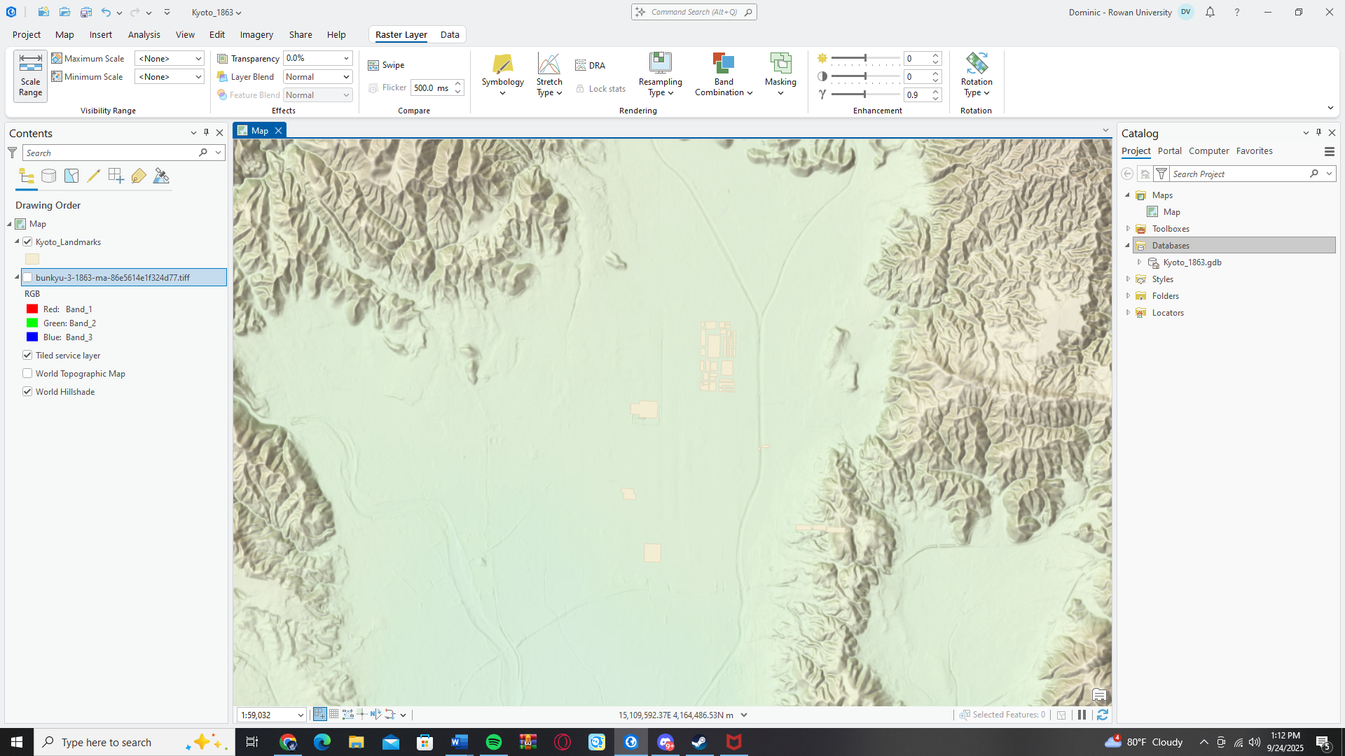
Then, we came to my second decision. Essentially I need three layers, a layer for the major landmarks of Kyoto, a layer for the regular residential buildings, and finally a layer which outlines the major streets, although I may be able to exclude this one depending on how it turns out after tracing buildings. I may need to draw a layer for the Kamo River which snakes around the east of the city. It seems like a lot of drawing, but I won’t need really any buildings outside the main city center. I am lucky as Kyoto lays in a natural valley surrounded by mountains so it doesn’t sprawl out as far as somewhere like Tokyo. Also another really great thing, is of all the cities in Japan, Kyoto has remained one of the most unchanged in the last hundred years. It was mostly spared in World War 2, so original buildings still stand, and street names mostly remain the same.

Now, it may seem like tracing all of those buildings will be time consuming, however, with certain controls in ArcPro I believe I can get it done with a week or two of consistent work. After that, will come the labeling which may end up taking just as long, but I’m well on my way to being finished by I’d say mid-October which could even be a week or two before I planned. After that, I can get right onto plotting the points and filling out my spreadsheet for them. However, this would not have moved as fast if not for this beautiful original map of Kyoto from 1863, it really became my savior. I’m well on my way now! Although I will say, drawing polygons over and over and over, adjusting vectors and vertices, is NOT how I imagined my final major project of graduate school….
Dom’s Bakumatsu period fun fact: The small rectangular yellow square you see on the map to the right are called ‘cho‘, and they are the residential buildings in old Japanese cities. They were essentially apartments and a lot of them doubled as businesses as well. You can also see by looking at the map there is only a few major streets. The long blue line going down the center of the city isn’t a river, it’s one the main road of the city. (Why it was painted blue we’ll never know). But this was a common design in Japanese cities, since large wide precessions of soldiers and households often came through the cities, so when a massive palanquin and hundreds of soldiers were coming through town you needed space. It was also deliberate in an attempt to distinguish different districts of the city. You’d find major markets and restaurants on the road, but the result of these larger roads meant the smaller alleys and streets between the cho were easy to hide away in. This is the reason so many Imperial Loyalists and Shogunate Loyalists were able to hide in the city, and why things like skirmishes and assassinations were so common, since it was incredibly easy to make your escape.