
The Kamogawa River, more commonly know as simply ‘The Kamo River’ has been one of the dozens of cultural landmarks of Kyoto for over a thousand years. Not only is Kyoto cleverly nestled in between mountains, it also has this great river snaking around it. I was lucky enough to walk along its banks during my trip to Japan in May. In our first night in Kyoto, while most of my friends on the trip, decided to go to Gion and other night districts, I had one place in mind I wanted to visit. Sanjo Bridge, which stretches out over the Kamo River, and home of the Ikedaya Inn. The Ikedaya Inn was the home of the most famous confrontation in Kyoto between the Imperial Loyalists and the forces of the Tokugawa Shogunate.
This radical group of Loyalists were days away from initating a plan called ‘The Great Kyoto Fire’. The plan was for them to set fire to the Imperial Palace and surrounding area in Kyoto. During the chaos they would swarm inside the palace, and kidnap Emperor Komei himself and take him back to the Tosa or Choshu domain, the centers for Imperial Loyalists activity. This plot was foiled by the Shinsengumi, lead by Kondo Isami and Hijikata Toshizo. After torturing a Loyalists prisoner, they discovered the group would meet at the Ikedaya to plan the final details of their attack. The Shinsengumi destroyed this group, and arrested some while disposing of others with their swords or in the Kamo River itself.
I walked along the banks where there are plaques to indicate the battle that took place at the no longer standing Ikedaya. In the following days, the heads of Loyalists samurai killed in the raid were mounted on spikes in the mud of the river. This was common practice, as the river was a popular spot for attacks and assassinations. Making it vital to not just the city, but the Bakumatsu Period as a whole.
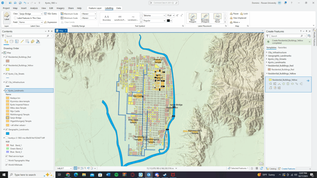
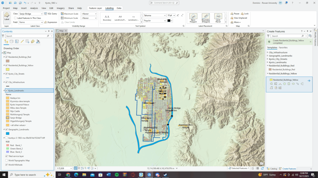
It also serves as the boundary line of Kyoto during this time, and thanks to me finally finishing the city map is temporarily ‘complete’. After adding the labels for the major landmarks, I can finally take a break from the map itself. The river was hard to manage with its curves, and I still think there are areas of it where I want to edit and fix the angles, but I’m going to save that for the last few weeks when I plan on having time for strictly edits to the map. I also think this combined with work for Dr. Saladin has given me burnout from ArcPro, so being able to put the map aside for a week or two will be nice.
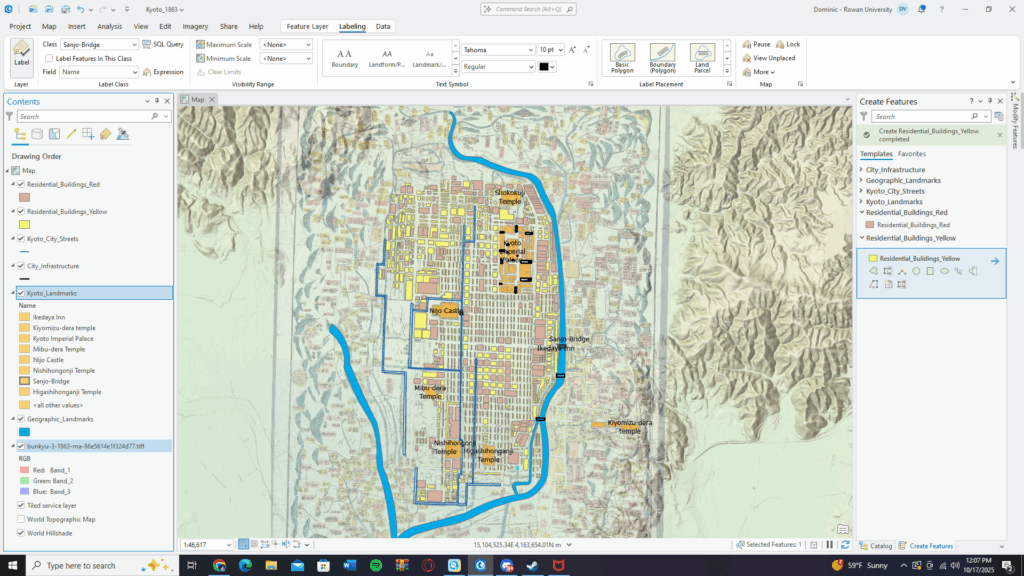
Now, however, I can go right into the story map, and create the csv spreadsheet for the points of conflict before the story map gets going. The one semester I was able to actually write about Japanese history and the Bakumatsu was in my undergrad seminar with Dr. Hague, and that while stressful, was an amazing semester of writing. I’m really excited to finally be able to tell people about this time period I’ve studied for so many years now.
Now, however, I have both my job at Eastern State, AND my new one at the Constitution Center until the end of October. So it’s safe to say things are going to be a bit packed schedule wise, but I’m confident I’ll be able to keep up my pace… at least I hope.

Leave a Reply